This page lists various useful external resources.
Click here to jump to the sections on how to report pollution and leaks, data sources on drought and flood risk, and information sources on water quality including “bathing water”. Cam Valley Forum’s reports are all available on our publications page
Reporting pollution and leaks
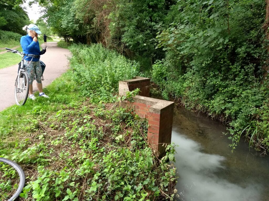
If you see signs of pollutants being discharged, or having been discharged, into a river or stream call the Environment Agency on 0800 80 7060 If this is not possible, you can email ics@environment-agency.gov.uk More details here. If it’s coming out of a drain in Cambridge, also report it asap to Anglian Water here
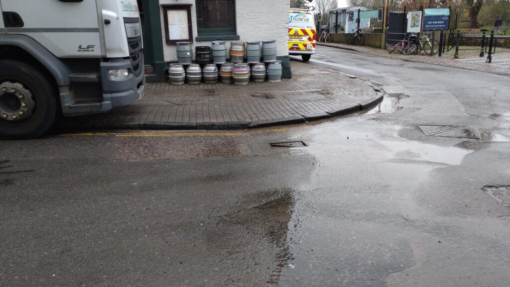
If you see a leak that looks like its fresh water, report it to Cambridge Water here . If its smelly report it to Anglian Water. Not sure? Report it to both of them!
Drought and Flood
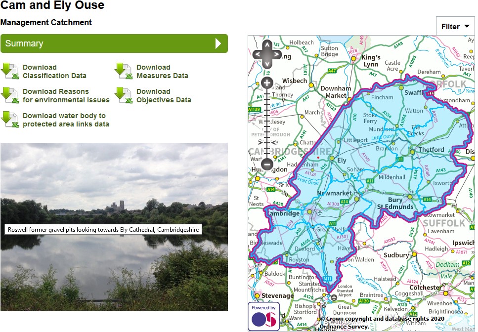
Environment Agency catchment data for The Cam and Ely Ouse. This gives detailed information on the health of all the rivers in the Cam catchment.
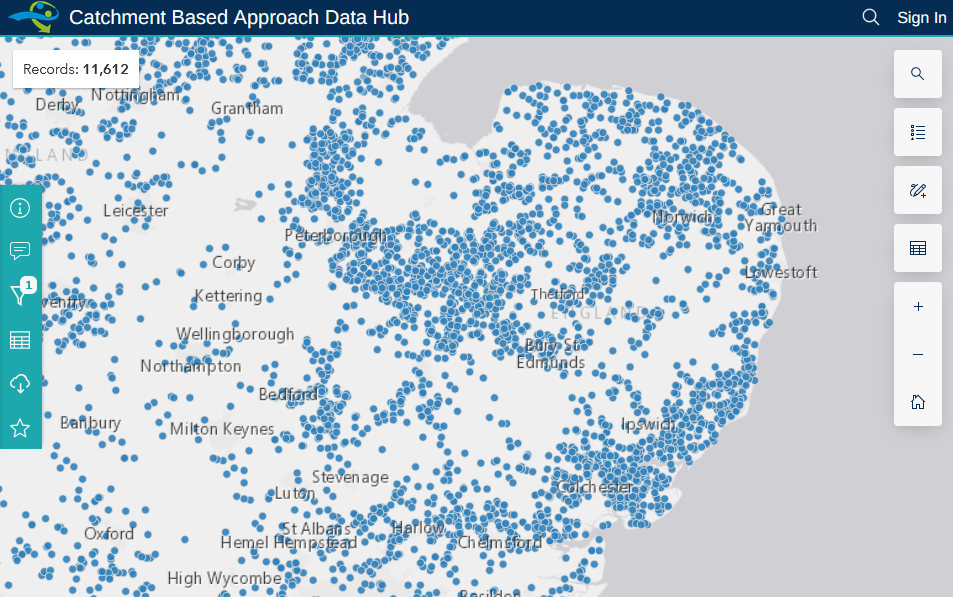
This Environment Agency map shows all the water abstraction licenses and how much each licensee is allowed to use. It is very noticeable that most of the abstraction happens in the Fens, rather than upstream of Cambridge.
All the Environment Agency’s monthly water situation reports can be seen here
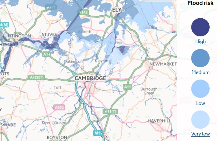
To see if an area is at risk from flooding, see this useful Environment Agency map
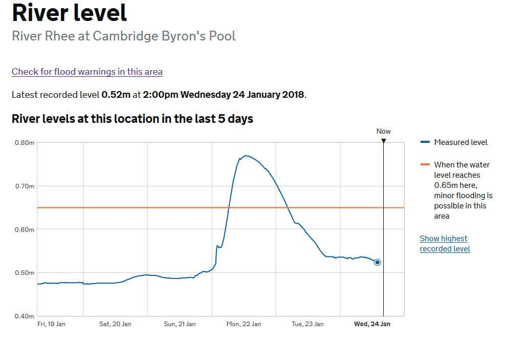
Flood alerts and river levels. This useful site allows you to input a postcode and see flood warnings and the level of the nearby rivers. For example click here to see the river level at Byrons Pool. Historical data on river flow rates is available here
Water Quality, including Bathing Water
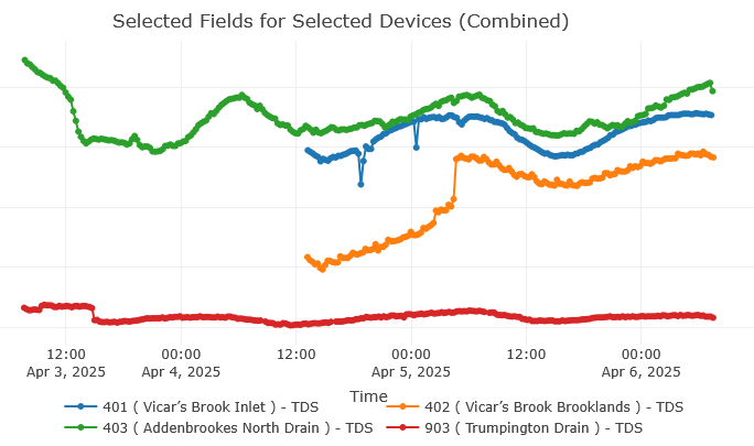
See real time data on Total Disolved Solids from loggers on Hobsons Brook and Vicars Brook here, The ThingSpeak loggers were supplied by John Clifford, who also created the River Cam Monitoring Network Dashboard. The loggers were built and deployed by Dr Steve Boreham of WildReach, and were funded by Hobson’s Conduit Trust and Cam Valley Forum. Richard Sewell played a pivotal role in facilitating this project
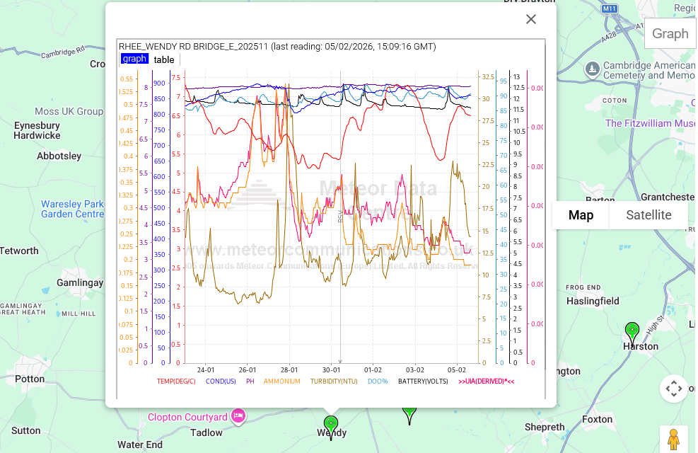
Live telemetry data from Environment Agency data sondes in the River Rhee at Haslingfield, Malton and Wendy (opens in a new tab)
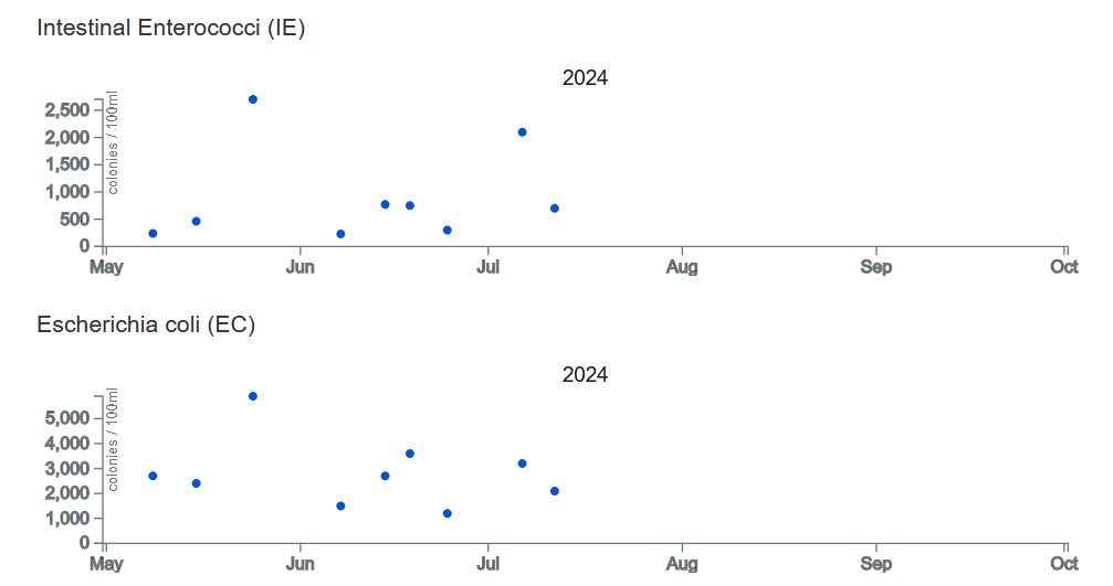
Swiminfo webpage for Bathing water information for Sheep’s Green, with Environment Agency (EA) test results for faecal bacteria 15 May-31 Sept. Past results here. More extensive, year round, EA test results from Sheep’s Green, are available here and here
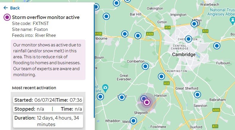
Anglian Water Storm overflow map, showing realtime data on sewage overflows from their treatment works.
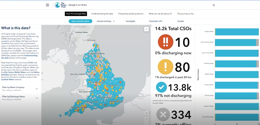
Rivers Trust’s excellent Sewage maps, with realtime data, historical overviews, and downloadable data
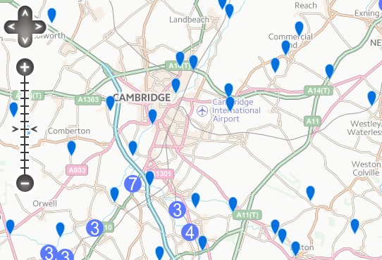
This Environment Agency webpage gives access to their water quality data from all their sampling points. You can access a very useful guide to downloading the data here (thanks to the RiversTrust)
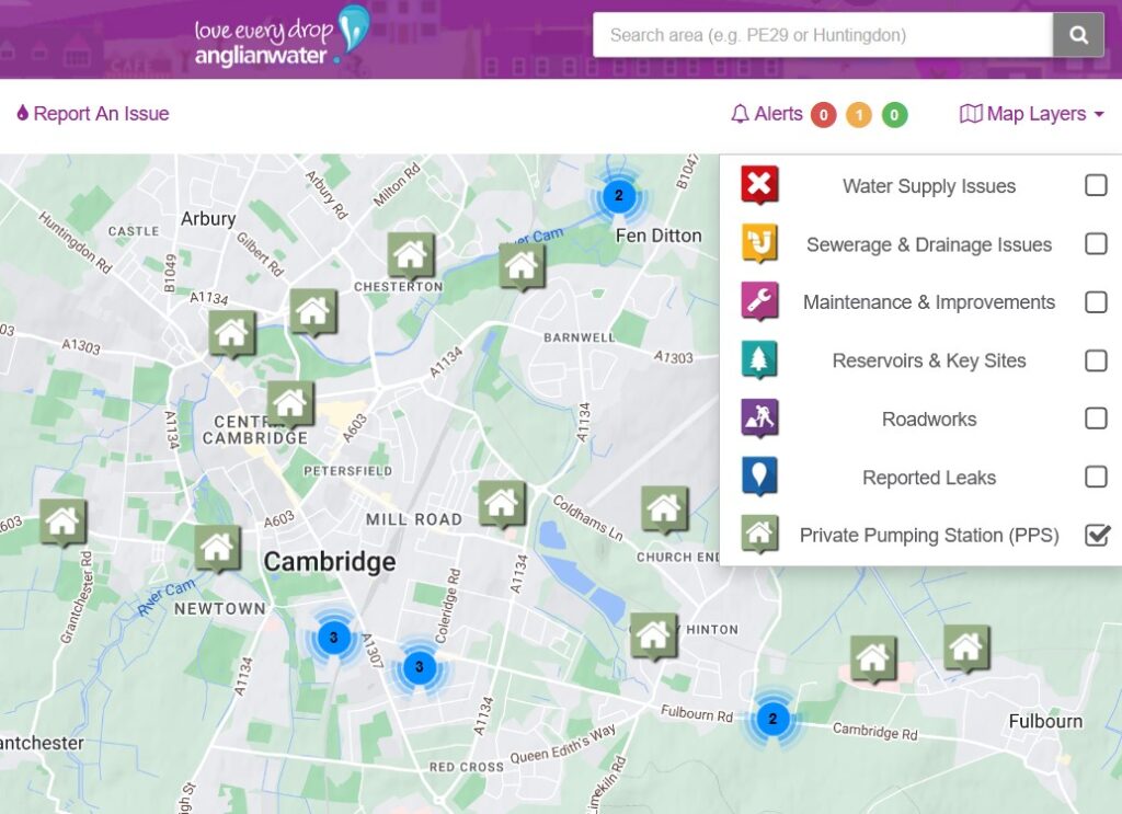
For infomation and updates on drainage and sewerage issues, click here for Anglian Water’s digital map
To report problems with sewage or drainage use this link
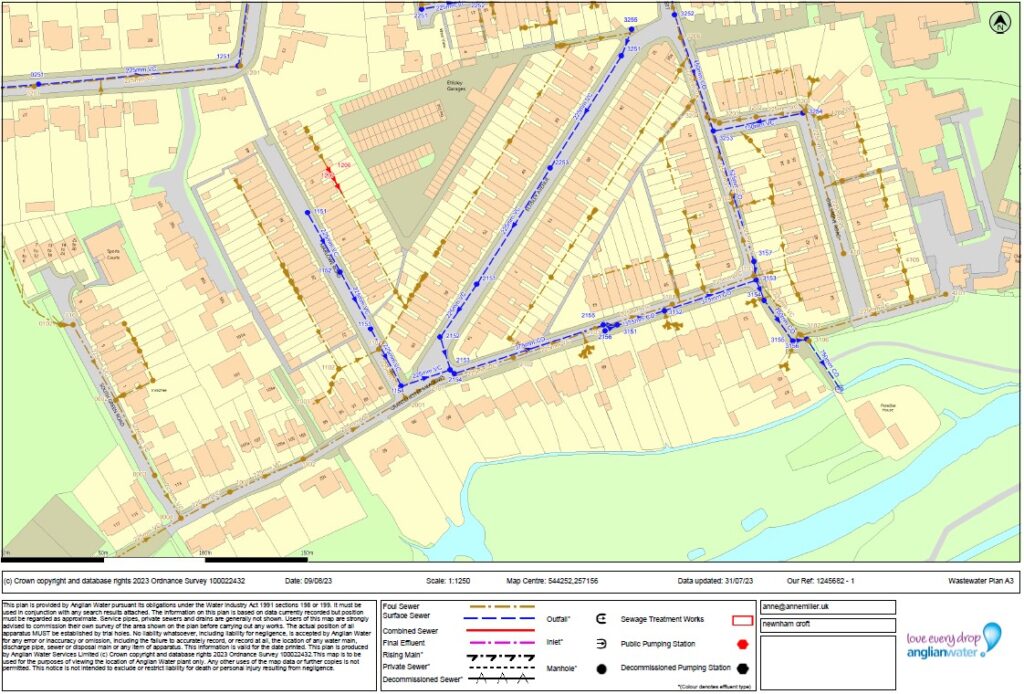
You can buy maps of Anglian Water’s surface water and sewerage drains at digdat. Annoyingly they’re behind a paywall. This one cost £35 in 2023. They’re also available for free at Anglian Water’s offices in Huntingdon
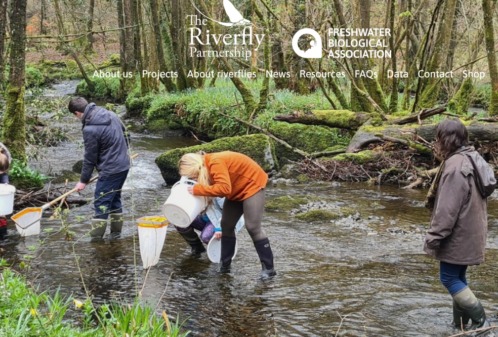
Riverfly monitoring data dashboard
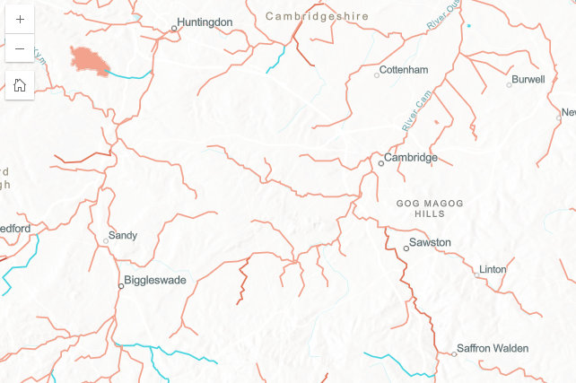
Rivers Trust Ecology Map showing the health of England’s rivers. Rivers shown in orange have “poor” status, rivers shown in blue are “good”
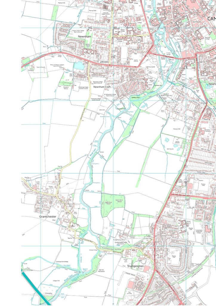
A detailed map of the River Cam above Cambridge, with local place names. Download here

