
The Fen Causeway: some background and history
As it will be Fen Causeway’s centenary on 6th December this year, we thought that it was appropriate to provide some background information on its planning and construction.
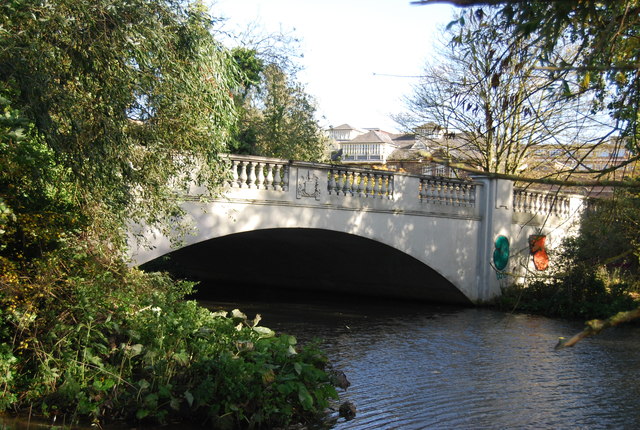
The Fen Causeway, which links Trumpington Road to Newnham (not to be confused with the Roman Fen Causeway linking Peterborough and Denver across the Fens), was approved in 1923 and completed in 1926. The aim was to provide an alternative to the Magdalene and Silver Street bridges as a route across the Cam as they were becoming congested as the volume of traffic increased. It is now part of the Cambridge inner ring road and is heavily used.
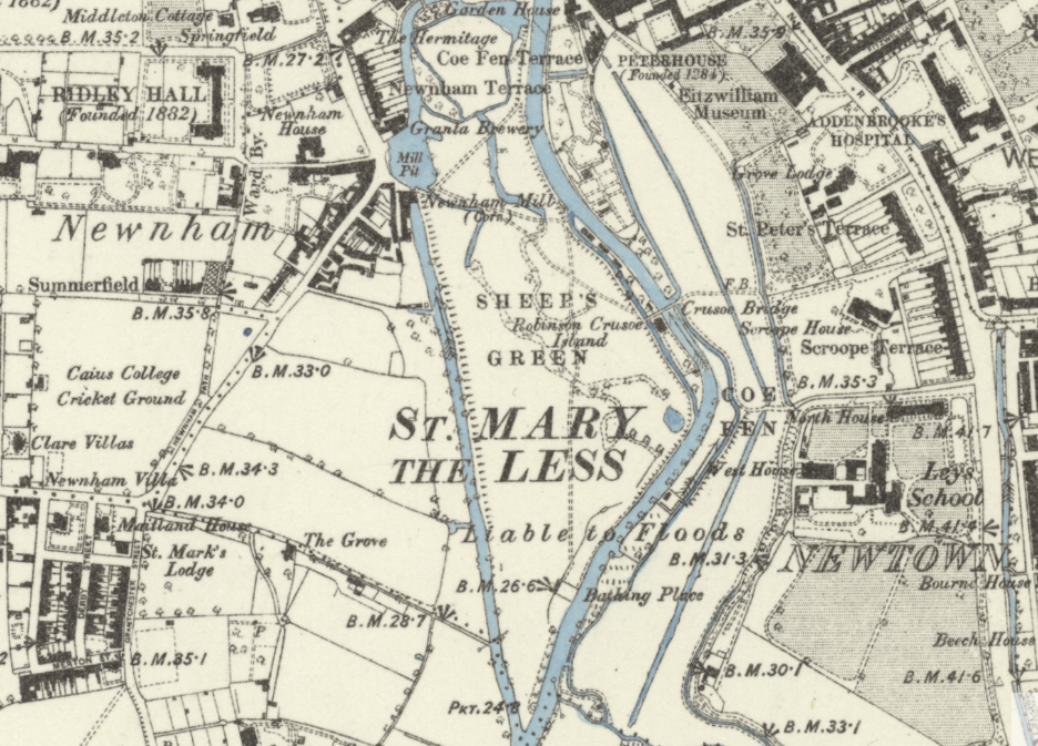
The narrow lane to the East, alongside the Leys School, had previously been called Coe Fen Lane and before that Love Lane. Possibly the Love Lane name indicated that it was a popular place for romantic assignations on the edge of town. Obviously the building of the bridge put paid to that!
It appears that traffic congestion had been an issue for a while as there was a previous plan to build a bridge here in 1895 but this was not taken forward. The Cambridge Collection has a design drawing for this bridge which is in a typically elaborate Victorian style. Sadly by 1926 building styles had become more functional and less decorative.
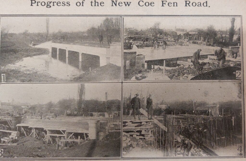
The arches in the centre were to enable the flood waters to pass down the apron.
The building of this substantial bridge was strongly opposed by local residents who considered the road would be ugly and spoil the tranquility of Coe Fen and Sheep’s Green. It was only approved after a public enquiry which considered alternative options.
Financing was through a central government Labour creation scheme employing ninety unemployed men. The labour creation scheme was used during the depression era to help alleviate unemployment.
The Fen Causeway was opened by the mayor of Cambridge, John S Conder on 6th December 1926. He was a horticultural builder, served as a liberal councillor of Cherry Hinton, and founded Cambridge Housing Society (CHS Group) along with Alex Wood and Dorothy Stephenson
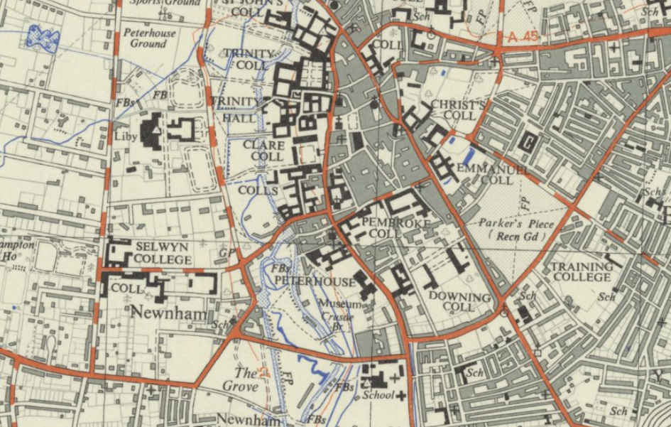
Fen Causeway is now heavily used, and frequently jammed with stationary traffic.
Sheep’s Green and Coe Fen
On the South of Fen Causeway is Sheep’s Green with Coe Fen on the North. At the Newnham end it is adjacent to Lammas Land. Incidentally Lammas lands are named after the Lammas festival on August first which celebrated the harvest being brought in. Lammas rights entitled commoners to “pasture following the harvest, between Lammas day, 12 August to the 6 April” so Lammas lands were common land for 9 months of the year and then were private the rest of the year. Presumably therefore the surrounding area was close to agricultural land.
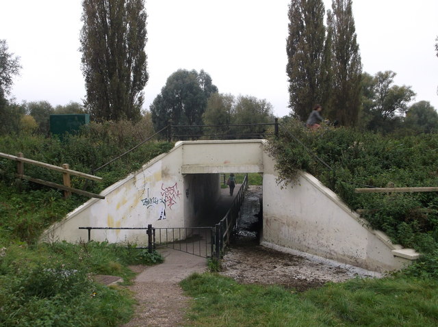
Coe Fen and Sheep’s Green were traditionally used for grazing since medieval times. Cows were grazed on Coe Fen and sheep on Sheep’s Green. As part of the Fen Causeway construction a “cattle creep” was included near Robinson Crusoe island. A cattle creep is a low tunnel for animals to pass from one side of a road to another.
The name Coe Fen also appears as a hymn tune by Ken Naylor, who taught music at the Ley’s school. It was written in 1958 for the hymn ‘How shall I sing that majesty’ by John Mason (1646?-1694).
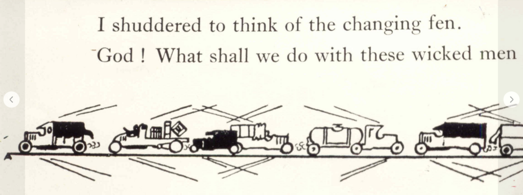
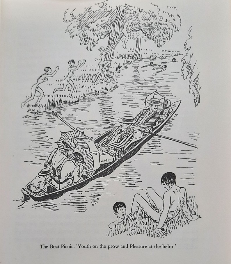
The Cambridge Collection holds a long poem: The Coe Fen Road by Quentin Nelson with some delightful drawings. This was possibly published by the Mercury Press in 1929. I found it in Down Your Street Vol 111 West Cambridge by Sara Payne.
Coe Fen and Sheep’s Green are now a designated local nature reserve with significant biodiversity. There is a rich bird life with herons, kingfishers and little egrets visiting the reserves. It is encouraging that the endangered water vole is flourishing and bats (Pipistrelle and Daubenton species) can be seen at night.
It is said that Charles Darwin carried out many beetle surveys in this area.
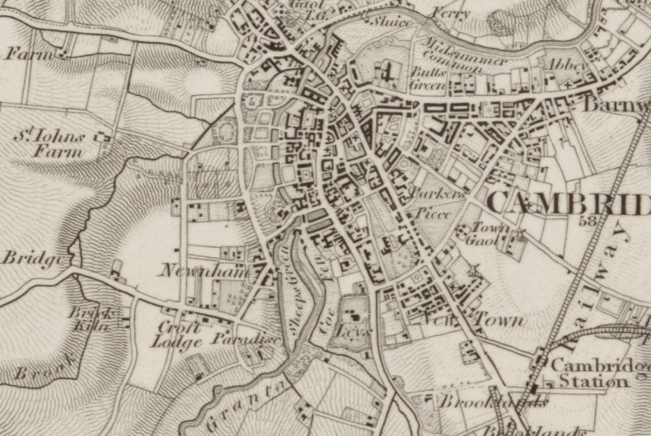
The land is prone to flooding and there were a number of ancients streams which flowed across the area (as can be seen in the map above). These channels can be seen in wet periods. The City council will shortly be reinstating them to improve biodiversity. As mentioned above the bridge construction took account of the possibility of flooding with the inclusion of the central arches.
The River Cam at Sheep’s Green was granted Designated Bathing Water status in May 2024. This was following a campaign by Cam Valley Forum and consolidated a long tradition of bathing (including in the nude) in this area dating back to the 18th century, especially by university students.
I am very grateful to the Cambridge Collection at the Cambridge Library for finding material to assist me in my research.
Bruce Huett, Cam Valley Forum